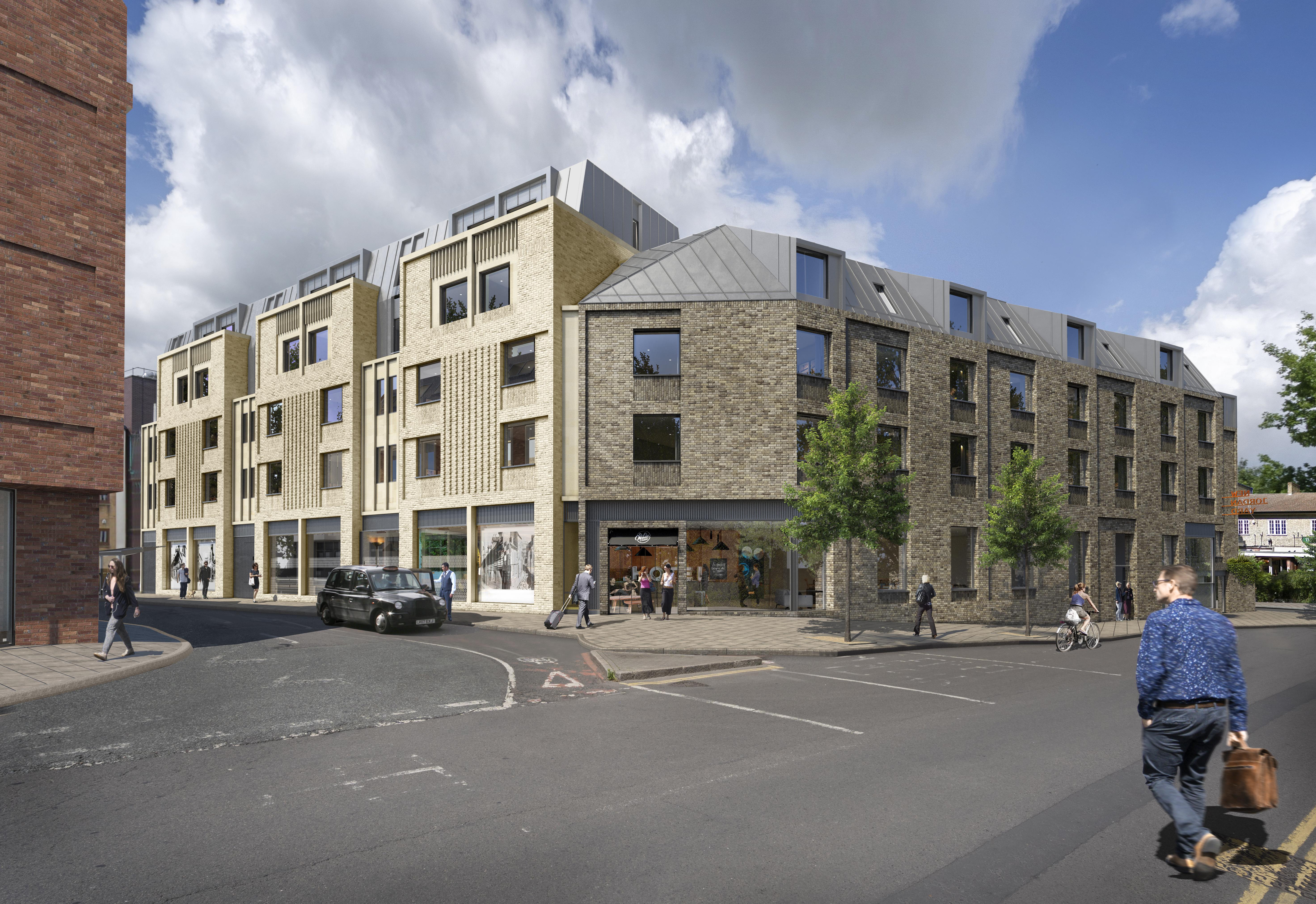
CGI of the proposed development
Archaeology
Phase 1 Works Completed! Phase 2 Works Underway
Headland Archaeology completed the first phase of archaeological work in November and December 2021 involving the excavation of the basement area of the car park, below the modern ground level. The work has been monitored by Cambridgeshire County Council’s Historic Environment Team (CHET) who oversees these projects on behalf of the local community.
The archaeological work in this area aimed to establish the nature and character of any Romano-British settlement in this area of Cambridge, recover any industrial remains and investigate and sample a layer of ‘dark earth’. This dark earth has the potential to reveal a little about the little documented post-Roman settlement in Cambridge as when excavated in the trial pits, it was found to seal the Roman deposits.
After the concrete flooring at the basement level was removed, archaeologists excavated the 18th and 19th centuries and later demolition rubble to expose the archaeological features that had survived being removed by the 19th-century house cellars and the later building of the car park basement.
Several archaeological features were revealed, with the earliest being a pit containing a few potentially Iron Age-decorated ceramic sherds, which are currently awaiting specialist analysis and identification.
The archaeologists also discovered a wealth of evidence present onsite from the Romano-British period. At least 23 pits were found, some of which yielded large volumes of pottery provisionally dated to the 2nd to 4th centuries AD. The pits were likely dug with the intention of extracting gravel and occurred particularly in one of the areas that were thought to have become drier during this period and were therefore more likely to produce evidence for relatively intensive occupation at the beginning of the Roman period. Three post holes were also found nearby, possibly indicating that this area marks the northeastern extent of the denser Roman occupation to the west and could likely be the start of a ‘suburban’ element to the nearby focus of Roman activity in the Castle Hill area.
Two further pits from this period were excavated and revealed in-situ artefacts within columnar features in each pit. These columnar features appeared as darker, artefact-rich deposits bordered by a thin organic layer and finally surrounded by the remaining gravel fill of the pit. It is possible that the artefact-rich deposits were interred into the pit inside some sort of wood or leather container or vessel – which would account for the organic border and the strange appearance of the fills-in section. Within each deposit in each pit was a flagon and animal horn, dating to the Roman period. Were these some sort of ritual offering? It is possible, particularly as the location suggests this was a boundary zone.
Excitingly, the archaeologists also believe they may have caught a glimpse of the large, medieval town boundary ditch referred to as the King’s Ditch, which was the city boundary established during the 12th Century, encompassing the area of the site and running along the line of what would subsequently become Park Street. The large southeast-oriented linear feature was only partially exposed due to the presence of a large concrete ramp. However, a series of cuts were still visible, the earliest of which contained a very dark grey, almost black ‘peaty’ fill of different character to deposits encountered elsewhere on site.
Artefact and environmental analysis will help to determine whether this is in fact a section of the infamous King’s Ditch.
The most recent feature excavated on-site during this phase was the impressive looking remains of a well, 3.2m in diameter which had been bisected by a concrete encased rainwater drainage service. The excavation revealed the lower courses of a partial brick-built dome, suggesting that the well’s original superstructure was possibly housed in one of the 19th-century building cellars which were demolished to make way for the car park.
Geoarchaeological investigation also accompanied the excavation and during a geoarchaeology visit to the site six environmental samples were taken to allow for microscopic examination of deposits which may help to understand their nature.
Geoarchaeology is the practice of using geology, geography and other earth sciences to better understand how archaeological sites have formed; what the natural environment may have looked like in the past; and taphonomic and post-deposition processes – the way organic material decays and processes that occur after the archaeological deposits have been laid down.
The second phase of archaeological works is now underway at the site and the post-excavation analysis of finds, features and environmental samples will follow. Check back soon for another update!
Desk Based Assessment
The Story So Far! What do we know?
· Late Prehistoric Period (i.e. Middle Iron Age c 500 BC to Late Iron Age 200 BC to AD 43)
The land at Park Steet in the later prehistoric was wet and subject to periodic flooding. Although some pottery sherds from this period were found onsite during the evaluation and the first phase of excavation, there has yet to be any conclusive evidence for settlement such as houses or other structures.
· Romano-British (AD 43-410)
The centre for Roman settlement was focussed on Castle Hill to the northwest of the site. However, we know from paleo-environmental evidence that during the Romano-British period this area began to dry out and become a more desirable area for settlement as well as industrial and agricultural activities. A wealth of Romano-British evidence was encountered during the first phase of excavation. At least 23 pits were found, some of which yielded large volumes of pottery provisionally dated to the 2nd to 4th centuries AD. Three post holes were also found nearby, possibly indicating that this area marks the northeastern extent of the denser Roman occupation to the west and could likely be the start of a ‘suburban’ element to the nearby focus of Roman activity in the Castle Hill area.
· Anglo-Saxon (AD 410- 1066)
No Anglo-Saxon archaeological features were identified during the evaluation and there is little evidence of contemporary activity in the wider area. However, a layer of ‘dark earth’ was observed within the evaluation trenches, sealing the Roman deposits. It is possible that this represents post-Roman activity on the site and could be evidence of Anglo-Saxon activity in the area. Five sherds of ceramic dating to this period were also recovered from the evaluation, which may have been re-deposited through later use of the site.
· Medieval (1066-1500)
During the medieval period, Cambridge underwent an expansion and the town became more prosperous as a result of its role as an ecclesiastical centre, university town and inland trading port. A significant Medieval feature which may be present on site is the city boundary, established in the 12th Century. This boundary, known as the King’s ditch would have encompassed the site, running along the line of what would later become park street. This is captured in historic mapping from the 17th Century until it was infilled and replaced by Park Street by 1830. A large ditch feature was encountered during the phase 1 excavations, and it is hoped that further analysis may reveal whether this is a surviving portion of the King’s Ditch.
· Post-medieval (1500-1800)
Activity within the site (and adjacent areas) shifted during the 16th Century with an intensification of occupation: within the site, this manifested itself in the continued accumulation of garden soils and excavation of pits, some of which were clay-lined suggesting industrial activities. This can be associated with the establishment of properties off Bridge Street to the west, with the site laying within the rear of the respective plots.
· 19th Century
The site changed dramatically during the 19th Century, with the establishment of a network of narrow lanes, yards, and domestic and commercial properties across the development area. Cellars to two buildings were identified in the evaluation and further building remains were uncovered in the first phase of excavation, including a well, which likely used to be housed in another cellar which was demolished to make way for the car park.
· 20th Century
The densely packed site was transformed during the second half of the 20th Century by the clearance of the pre-existing buildings to widen Park Street and Round Church Street and establish a car park by 1958, which subsequently became the multi-storey car park in 1963.